
Weather / Pakistan / Khyber Pakhtunkhwa / Swat
Swat Weather & Mingora Travel Guide
Check current conditions, the hourly outlook and the 10-day forecast for Mingora in the lower Swat Valley. Use this town forecast for your Mingora and Saidu Sharif base, then check higher destinations separately before travelling to Kalam, Malam Jabba or Mahudand Lake.
Forecast point: Mingora, Swat, not the whole valley. Current weather is a model estimate, not an on-site station. Kalam, Malam Jabba and higher mountain areas can have different temperatures, rain and snow. Times use Pakistan Standard Time.
Mingora (Swat), Khyber Pakhtunkhwa, Pakistan
Mingora (Swat) will be clear sky today, with a high near 23°C and a low near 8°C. Peak precipitation chance is 0%.
Unusually sensitive people may want to reduce prolonged outdoor exertion.
24-hour temperature
10-day forecast for Mingora (Swat)
10h 18m of daylight
0 mm forecast today
Gusts up to 26 km/h
Use sun protection during midday hours.
PM2.5 12.1 μg/m³
23° / 8°
Understanding Swat weather
Mingora sits at roughly 984 metres above sea level in lower Swat, close to Saidu Sharif. Its urban weather is not a substitute for conditions at higher resorts, forest tracks or lakes. A mild day in Mingora can coincide with much colder weather farther up the valley.
Use the hourly outlook for town sightseeing, your arrival and departure, and the 10-day forecast for broad packing plans. For a route through Bahrain to Kalam, or a Malam Jabba excursion, obtain a destination-specific forecast and current local access advice. Explore the Khyber Pakhtunkhwa weather hub for other published forecasts.
Seasonal travel planning
Warm days & wet-weather planning
Summer days in Mingora can feel warm, even when mountain destinations are cooler. Carry drinking water and sun protection, and allow breaks during hotter hours. Rain and thunderstorms can change plans quickly; check official advisories and avoid riverbanks, streams and low crossings during heavy rain or rising water.
Winter & changing seasons
Winter in lower Swat does not describe the snow and ice conditions at Malam Jabba or Kalam. Pack warm layers for mornings and evenings, and check higher roads separately. Spring and autumn can bring changing temperatures and rain, so keep your route flexible rather than relying on a fixed sightseeing season.
Before you leave
Check the route beyond Mingora
Check the latest forecast and road information for your approach to Mingora and each onward leg. Ask your driver or host about the Bahrain–Kalam road, Malam Jabba approach or any jeep excursion you plan to take. Landslides, flooding, snow or ice can affect one stretch while another remains usable. Follow closures and allow extra time.
Pack for town and mountain stops
For Mingora and Saidu Sharif, bring comfortable walking shoes, sun protection, drinking water and rain cover. Add warm and waterproof layers, gloves and footwear with grip for higher excursions. Keep medication, a charged phone and essential supplies handy if traffic or weather delays the journey.
Plan sightseeing around local conditions
Plan Swat Museum and nearby cultural visits around current opening arrangements, and check local conditions before riverside stops such as Fiza Ghat. Keep away from fast or rising water and unstable banks. Chairlifts, adventure activities and mountain jeep routes depend on their operators’ current assessment, not this town forecast alone.
Travel note: This page represents Mingora at approximately 34.7725°N, 72.3608°E. It does not confirm road access, river safety, snowfall or activity availability anywhere in Swat. Check fresh official advisories and local information before departure.
Explore Swat tour packages
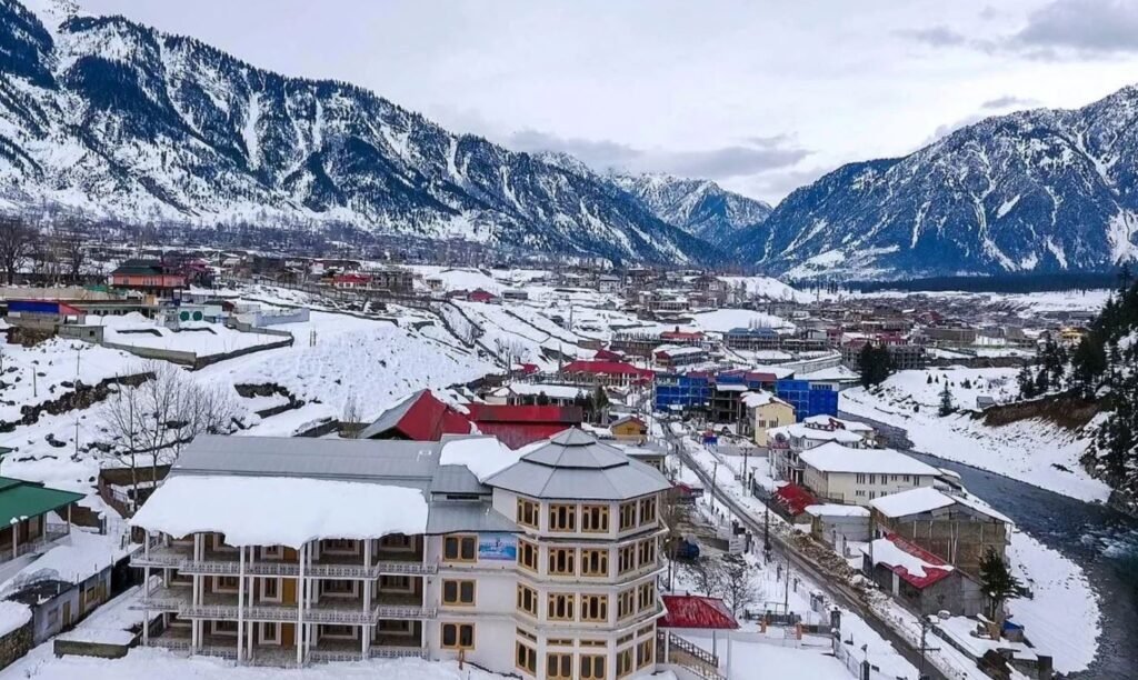
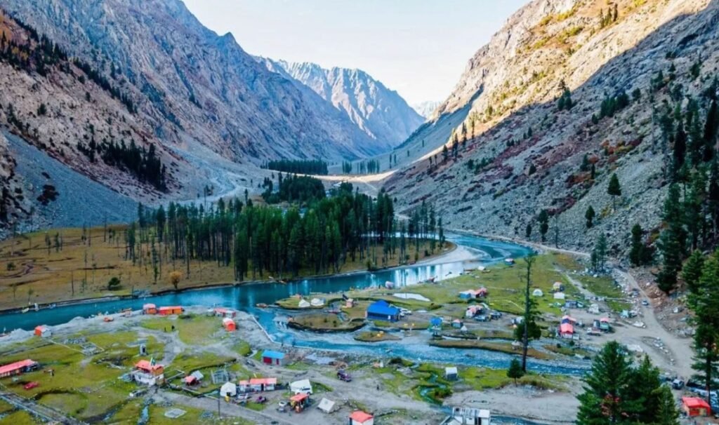
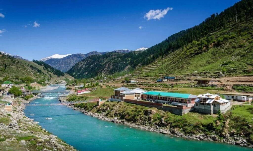
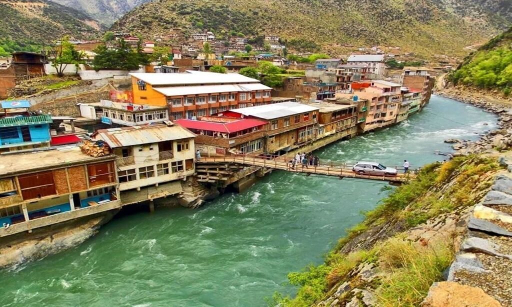
These published routes include Swat, with different combinations of Kalam, Malam Jabba, Kumrat or the Murree–Galyat area. Compare the full itinerary and reconfirm current inclusions and access for your dates. Photos come from the corresponding tour listings and show the wider routes, not current Mingora conditions.

Planning a Swat trip?
Share your dates, group size and preferred stops with Adventurer Treks & Tours. We can help you compare Swat itineraries and plan the town stays, higher excursions and seasonal travel arrangements for your trip.
Swat weather FAQs
Which part of Swat does this forecast cover?
The forecast is centred on Mingora in lower Swat at approximately 34.7725°N, 72.3608°E. It is model weather data rather than an on-site station observation. The town is roughly 984 metres above sea level; actual model terrain and local conditions may differ.
Is Mingora weather the same as Kalam or Malam Jabba?
No. Kalam and Malam Jabba are higher and can be colder, with different rain, snow, wind and access conditions. Check a forecast and local road update for each overnight base and excursion instead of applying Mingora weather to the whole valley.
Does good weather mean the road is open?
No. Check the specific road or track with local authorities, your driver or your host. Heavy rain, landslides, snow and ice may disrupt travel even when conditions in Mingora look favourable. A booking or a particular vehicle type does not guarantee access.
Can this forecast guarantee snowfall?
Do not choose a Swat trip on a snowfall promise. Snow is more likely at higher elevations, but dates and access vary. Plan with the forecast for the actual destination, current advisories and a flexible alternative if the route or activity is unavailable.