Babusar Pass will be fog today, with a high near -5°C and a low near -26°C. Peak precipitation chance is 0%.
Weather / Pakistan / Khyber Pakhtunkhwa / Babusar Pass
Check current conditions, the hourly outlook and the 10-day forecast for Babusar Pass, also called Babusar Top. Plan a high-altitude excursion from Naran with temperature, wind, snow, rain and visibility in mind, then confirm road access separately before travelling.
Forecast point: Babusar Pass, not Babusar village or Naran. Current weather is a model estimate, not a summit station observation. The pass is around 4,173 metres high; model terrain and conditions on either approach may differ. Times use Pakistan Standard Time.
Babusar Pass will be fog today, with a high near -5°C and a low near -26°C. Peak precipitation chance is 0%.
Unusually sensitive people may want to reduce prolonged outdoor exertion.
10h 16m of daylight
0 mm forecast today
Gusts up to 16 km/h
Strong sun protection is recommended.
PM2.5 12.8 μg/m³
-3° / -29°
Babusar Pass stands at approximately 4,173 metres, linking the upper Kaghan Valley in Khyber Pakhtunkhwa with the route through Thak Nala towards Chilas in Gilgit-Baltistan. This page uses a representative road-pass point, rather than the lower Babusar village or the Naran town forecast.
Exposed high ground can be much colder and windier than your overnight base. Use the hourly outlook for your intended visit and the 10-day forecast for broad planning. Check Naran weather separately for your stay. Local gusts, cloud and road-surface ice may differ from model estimates.
The warmer travel period can offer access after snow clearance, but it is not a guarantee of an open road or clear views. Rain, fog, thunderstorms and cold wind can change plans quickly. Check the forecast again before departure and avoid lingering on exposed ground when storms approach.
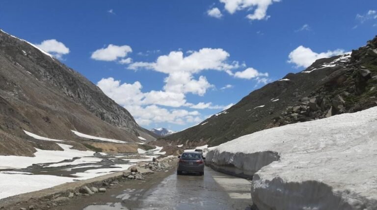
Heavy snow commonly closes this seasonal route outside the summer travel period. Reopening depends on snow clearance, road condition and official decisions, not a fixed calendar date. Fresh snow, ice or damage can interrupt access after reopening. Keep an alternative route and flexible travel plans.
For a Naran excursion, check the upper Kaghan road through Lulusar and the climb to Babusar Top. If continuing towards Chilas, confirm that the descent and onward route are also open. Ask your driver for current local advice, follow official restrictions and complete mountain driving in daylight.
Carry warm layers, a windproof and waterproof outer layer, gloves, a warm hat and footwear with grip, even when Naran feels mild. Add sunglasses, sun protection, drinking water and a charged phone. Allow extra time and avoid relying on services being available at the top.
At over 4,000 metres, a short road visit can still involve a rapid gain in altitude. Ascend gradually where possible, take a gentle pace and avoid strenuous activity immediately after arrival. If you feel unwell, do not continue higher; seek local medical advice and descend as needed. A pleasant forecast does not remove altitude risk.
Travel note: This model forecast uses a representative pass point at 35.14590°N, 74.04663°E, near 4,173 metres. It does not report road opening, snow depth or safe driving conditions. Check official tourism guidance and current road advisories before setting out.
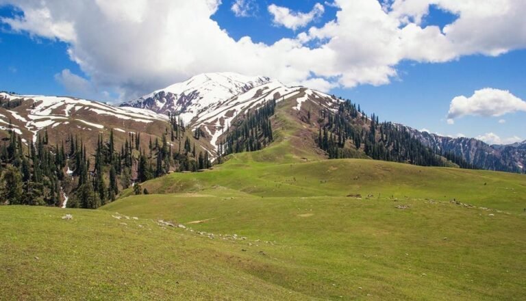
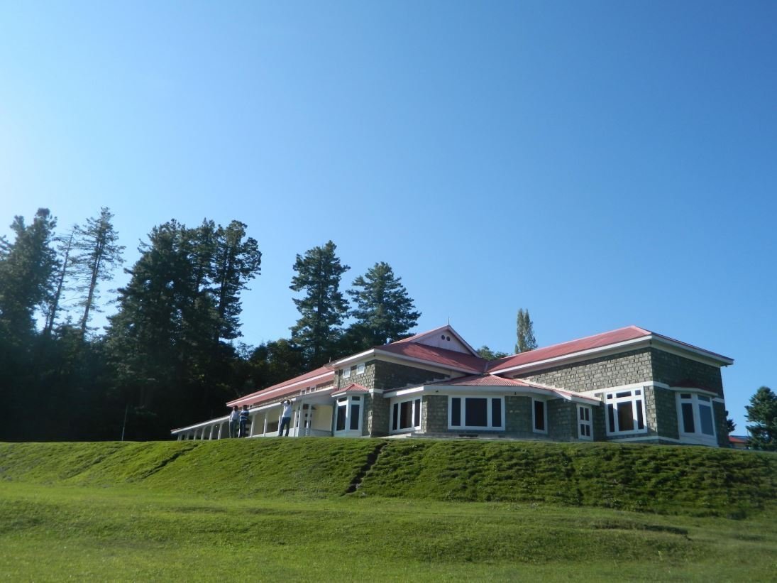
These three published itineraries include a Babusar Pass excursion from Naran, with different combinations of Shogran and Neelum Valley. Compare the complete route and overnight stops, then reconfirm current inclusions and seasonal access. Photos show scenes from the wider tour listings, not live conditions or guaranteed snow at Babusar Top.
Share your dates, group size and preferred route with Adventurer Treks & Tours. We can help you compare itineraries with a Babusar excursion and discuss overnight stops, transport and seasonal alternatives.
The forecast uses a representative Babusar road-pass point at 35.14590°N, 74.04663°E, near 4,173 metres. It is model weather data, not an observation from a summit station. Babusar village lies lower on the northern side, and Naran is a separate lower-altitude base.
No. Babusar Top is much higher and more exposed than Naran. Temperature, wind, visibility and snow or ice risk can differ sharply. Check the pass forecast, your overnight-base forecast and current road information separately.
No. A sunny or dry forecast does not prove the road is open. Snow clearance, ice, landslides, flood damage and official restrictions can affect access independently of the forecast. Confirm the full route before departure and follow any closure instructions.
There is no guaranteed annual opening date. The road is seasonal, with access depending on snow clearance and official road checks. Consult current local and official updates close to your trip; an old reopening announcement or a summer tour listing is not confirmation for your dates.