Kumrat Valley will be clear sky today, with a high near 12°C and a low near -4°C. Peak precipitation chance is 0%.
Weather / Pakistan / Khyber Pakhtunkhwa / Kumrat Valley
Check current conditions, the hourly outlook and the 10-day forecast for a representative point in Kumrat Valley, Upper Dir. Plan forest walks, valley stays and onward excursions with temperature, rain, snow and changing mountain-track conditions in mind.
Forecast point: Kumrat Valley, not Thal or Badgoi Pass. Current weather is a model estimate, not an on-site station. Conditions vary between riverside accommodation, upper-valley tracks and higher mountain routes. Times use Pakistan Standard Time.
Kumrat Valley will be clear sky today, with a high near 12°C and a low near -4°C. Peak precipitation chance is 0%.
Air quality is generally satisfactory.
10h 15m of daylight
0 mm forecast today
Gusts up to 41 km/h
Use sun protection during midday hours.
PM2.5 7.5 μg/m³
13° / -2°
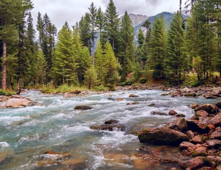
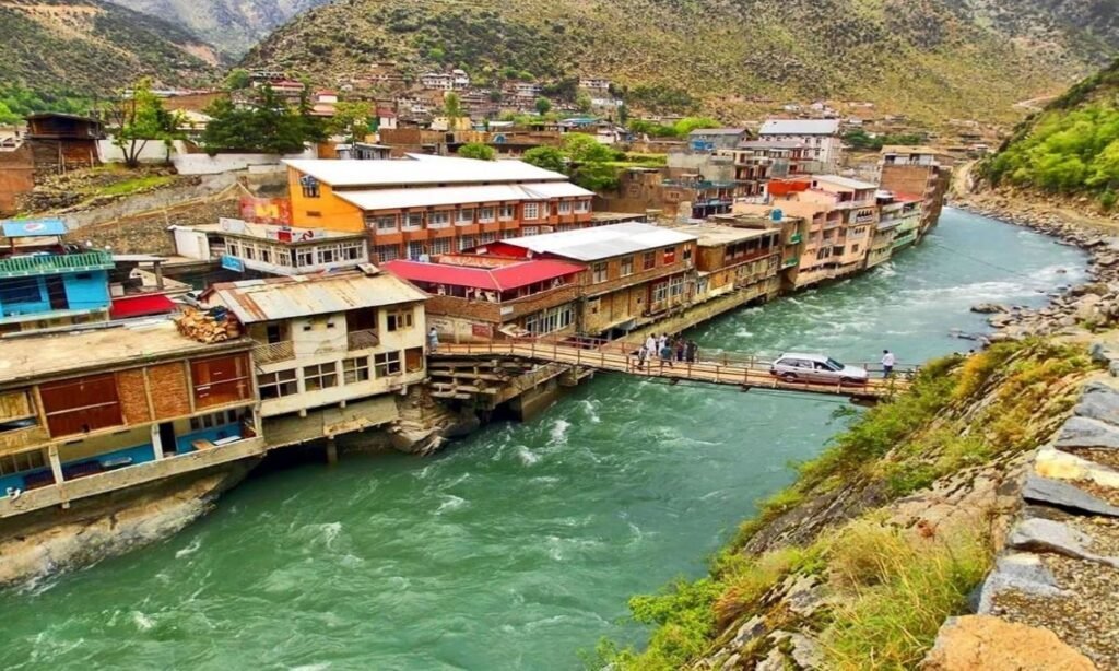
Kumrat Valley follows the Panjkora River through mountain forests in Upper Dir. This page uses a representative valley point around 2,230 metres above sea level. The valley extends across varied terrain, so that elevation does not describe every hotel, campsite or excursion stop.
Use the hourly outlook for the timing of walks and journeys, and the 10-day forecast for broad packing plans. Thal is a separate, lower settlement on the approach. Badgoi Pass towards Utror and Kalam is much higher and needs its own weather and road check. Model terrain cannot resolve every local slope or gust.
Warmer months offer opportunities for forest walks and valley sightseeing, but evenings can still need warm layers. Carry waterproof clothing as well as sun protection. Heavy rain can raise river levels, damage bridges and tracks, or trigger landslides. Keep away from rising water and unstable riverbanks, and follow current advisories.
Winter snow and ice can restrict access, especially on higher mountain routes. Spring snowmelt and autumn cold spells also require flexible plans. Confirm which accommodation and transport services are operating for your dates. There is no guaranteed snowfall date or fixed opening date for Badgoi Pass.
Ask your driver or host for a fresh update on the Upper Dir–Thal approach and the onward track into Kumrat. Confirm your exact accommodation location, transfer point and suitable transport. Road damage, snow or landslides may affect individual stretches differently. Follow closures and allow daylight and extra time for the journey.
Bring warm layers, waterproof outerwear, sturdy shoes, sun protection and drinking water. Check bedding and heating arrangements before an overnight stay, especially in cold weather. Keep essential medication, a charged phone, power bank and practical supplies available in case travel takes longer than planned.
Reconfirm access towards Kala Chashma and other upper-valley stops separately from the main approach. Do not assume a clear valley forecast makes Badgoi Pass or a jeep track passable. Ask locally about return arrangements, avoid entering fast-flowing water and choose accommodation or camping areas away from flood-prone river edges.
Travel note: This forecast uses a representative Kumrat Valley point at 35.51667°N, 72.23333°E, around 2,230 metres. It is not a forecast for every campsite or high pass and does not confirm road access, river safety or excursion availability.
These two published tours include Kumrat Valley and Kala Chashma: a short Kumrat itinerary and a longer Swat–Kalam–Kumrat route. Reconfirm the final day-by-day plan, overnight stops, current inclusions and access before booking. Photos are from the tour listings and show wider-route scenery, not current weather.
3 Days / 2 Nights
Kumrat Forest · Waterfall · Kala Chashma
Share your dates, group size and preferred route with Adventurer Treks & Tours. We can help you compare Kumrat itineraries and review the overnight locations, local transfers and seasonal arrangements for your trip.
This page uses the gazetteer reference point 35.51667°N, 72.23333°E for Kumrat Valley, at approximately 2,230 metres. It is a representative valley point, not the exact location of every hotel or camp. The displayed weather is model data, not an on-site station observation.
No. Thal is a separate settlement on the approach, while Badgoi Pass is a much higher mountain crossing towards Utror and Kalam. Conditions at the pass and along the route may differ substantially from the valley forecast. Check both weather and access for the specific journey.
No. A dry forecast cannot confirm that roads, bridges or jeep tracks are usable. Check current information with local authorities, your driver and accommodation, and follow closures. Flood damage, landslides, snow or ice may continue to affect travel after the weather improves.
There is no guaranteed snowfall date or fixed opening season for every part of Kumrat. Conditions vary between the valley floor and higher routes. Check the forecast close to departure and reconfirm accommodation, transfers and excursions for your dates.